library("gamlss2")


## load sf package for plotting
library("sf")

## load the data
data("Germany", package = "gamlss2")

## plot the map
plot(st_geometry(Germany))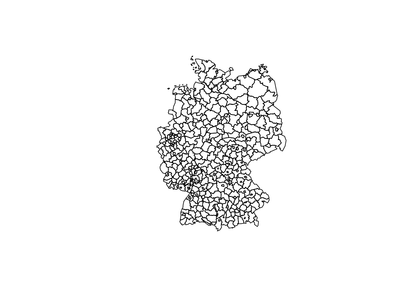
The map contains the counties of Germany. The data was originally taken from GADM (https://gadm.org/) and slightly simplified to reduce disk space.
data("Germany", package = "gamlss2")A class “sf” data frame containing 403 counties of Germany.
Map of Germany:
library("gamlss2")
## load sf package for plotting
library("sf")
## load the data
data("Germany", package = "gamlss2")
## plot the map
plot(st_geometry(Germany))